


China, India, and the name game

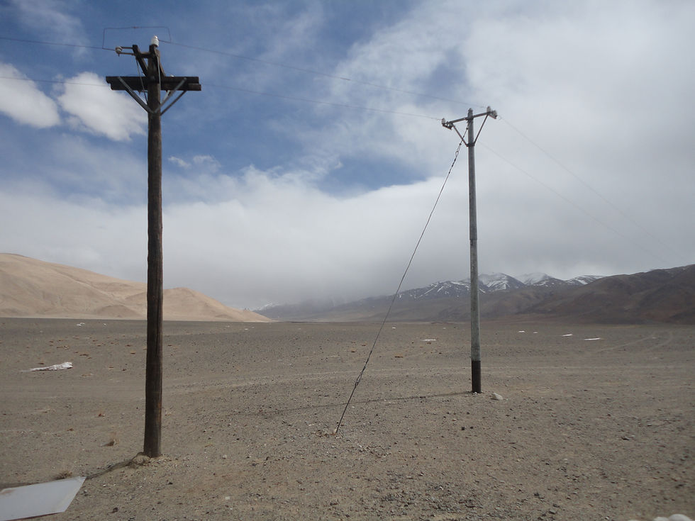
A section of the India-China border. (Wikimedia Commons.)
Introduction: The Latest Round
Chinese state media has recently criticised India’s decision to identify 27 locations in Arunachal Pradesh by standardizing Indian names on its official map. The Global Times report quoted Qian Feng, Director of the Research Department at Tsinghua University-implying that the move could strain China-India relations and escalate the border situation.
The Ministry of Home Affairs (Government of India) noted that, "The Government of India in consultation with the State Government of Arunachal Pradesh identified 27 places/features located in Arunachal Pradesh by standard place and feature names on the official maps of the Survey of India (SoI)."
According to the release, these categorised locations comprise twenty-one land areas such as Longju, Maja, Bisa, Bara Kundun, Chhota Kundun, Dhan Bari, Pritnagar, Buddhamandir, Jairampur, Teritnagar, Ramnagar, Jaswant Garh, Sagar, Padma, Jyotinagar, Baisakhi, Chhota Ropuk, Bara Ropuk, Shivaji Nagar, Sunpura, and Kamlang Nagar. Additionally, the official list features four distinct passes, including Dzo La, Riza La, Pukur La, and Thag La, one lake known as Sambho Sarovar, and one monument, which is the Sher-e-Thapa Memorial.
Chinese media noted that the timing of this standardization came days after the 36th meeting of the Working Mechanism for Consultation and Coordination on China-India Border Affairs (WMCC) which was held on August 6, New Delhi. The official report released by the Ministry of External Affairs notes that both sides underlined that maintaining ‘peace and tranquility in the border areas is essential for the overall development of the bilateral relations’.
The two sides reportedly exchanged detailed enquiry and deliberations on issues related to boundary delimitation, border management, mechanism building and trans-border cooperation.
Chinese analysts cautioned India against letting the border issue harden into a larger dispute during a period of dialogue. This raises the real question: what remains the logic of this cartographic warfare, and does it actually produce any real strategic dominance for either side?
Origins of the ‘Line’: Drawn, Redrawn and Disowned
China’s overall claim of 'South Tibet' rests on the idea that the region was part of Chinese suzerainty and a weakened China was pressured to be part of a conference it never fully accepted. The dispute in its modern form begins with the 1913-14 Simla Conference, where the British negotiator Henry McMahon drew a boundary between Tibet and British India, in exchange for Tibetan autonomy. The Chinese delegation ‘initialled’ in the conference map but later refused to sign the final treaty, objecting that Tibet’s boundary with China could not be drawn as a separate line. That non-ratification is the single thread that Beijing has repeatedly pulled to disown the McMahon Line, arguing that China was pressurised into it. What is bizarre, however, is the fact that China did accept a boundary alignment with Burma (Myanmar) that largely followed the easternmost segment of the McMahon Line.
In the 1960 China–Burma Boundary Treaty, Beijing agreed to a border that tracked the traditional customary line in the north, which coincided with the McMahon Line’s alignment in that sector. China carefully avoided calling it the McMahon Line, instead describing it as the traditional or customary boundary, while still securing small territorial adjustments (such as the return of the Hpimaw/Pianma area).
Distracted by the First World War, Britain did very little to actually govern the Tawang tract, which continued to be administered by Lhasa for two more decades. Only from the 1930s, did Britain begin the process of making new maps and physical outposts in the region- a reality which a post Independent India will inherit and later complete. In 1951, India sent the Khating mission to formally absorb Tawang, presenting Beijing with a fait accompli. China, too absorbed with annexing Tibet, did not show any protest then. In 1956, Zhou Enlai in his conversation with Nehru, was prepared to treat the McMahon Line as an "accomplished fact”. Three years later, that position reversed entirely, where Zhou in a letter claimed the whole territory between the ‘line’ and the Assam foothills as historically Chinese territory. The dispute hardened into war later in 1962. Talks resumed only under Deng Xiaoping, who floated the infamous “packaged deal”- Chinese recognition of the Eastern Sector to be done in exchange for Indian concessions in Aksai Chin. This history remains well documented as to what followed, and quite obviously talks collapsed by 1986-1987 amid the Sumdorongchu standoff, incidentally the same year when Arunachal Pradesh was given full statehood.
This cyclical contest over the line has gone on for decades, with China’s territorial claims expanding from a few disputed kilometers to claiming whole states. The dispute further sharpened after the Dalai Lama's 2017 visit to Tawang and the Doklam Standoff that followed. After 2017, Chinese assertion took a rhythm of naming and renaming villages and featured quiet ambiguity around the region in recurrences. Since 2017, China’s Ministry of Civil Affairs has issued six such lists standardizing a total of 112 names in the region as of April 2026. India’s own decision to rename 27 places has to be read in this context.
Two Tracks: One Detente
Seen in this way, India’s decision is not even a departure from this naming-renaming detente, but a demonstration of what a detente now looks like between two states who have quietly accepted that this boundary will not be resolved soon. Since Galwan, it has been clear that armed escalation is risky and not a strategy. And Beijing is not in a position to justify these escalations, while trying to occupy higher diplomatic tables. What remains for both sides, is a slower and less visible contest.
India’s standardization exercise is not even directly addressed at Beijing. They are addressed to the future of the negotiating table. Much of India’s legal case on Arunachal Pradesh already leans on the principle of estoppel. China’s silence over 1951 Khating Mission, creation of NEFA in 1950 and Tawang’s initial years of absorption by India, is cited as China's tacit acceptance to the building status quo. Now China has shifted towards symbolic hardening in later years, building no basis for any country to even consider giving up an internal part of its territory. Delhi is now deliberately doing something which once happened by accident. This is the unambiguous articulation that Arunachal will be and always has been an integral part of Independent India.
BRICS 2026 and what the name won’t settle
Xi Jinping is expected to attend the BRICS Summit in New Delhi, which will be his first visit to India since 2019. But a summit like BRICS, is built on multipolar solidarity which will require both the government to navigate an unresolved cartographic dispute while not compromising the overall logic of the BRICS Summit. The likelist response from Beijing is another standardization list- probably its fifth one since 2017. Other frictions unlikely to go away- Chinese assertions through the Xiaokang villages along the LAC, the unresolved question of the Dalai Lama’s Succession and the broader autonomy dispute regarding Tibet, will keep testing the relationship of India and China.
What is clear till now is that official channels like the WMCC will not stop parallel contests of narratives - nor should it be read as a failure of diplomacy. The more realistic expectation should be that both tracks run side by side without compromising larger stability of dialogue. There is, turns out, quite a lot in a name-not because it can move a border, but because it is what two states bank on when the border itself cannot be moved.
__
(Upamanyu Basu is an Assistant Professor of Political Science and International Relations in the Department of Liberal Arts, School of Humanities and Social Sciences, and Sriparna Pathak is Professor of China Studies, and the founding Director of the Centre for Northeast Asian Studies at O.P. Jindal Global University.)


Comments